RECREATIONAL USERS' GUIDE
This easy to use guide is a two sided map of the River Thames.
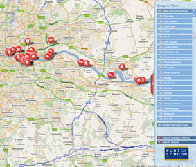
'The River Thames Recreational Users Guide - Teddington to Sea Reach', is a more practical and less formal method of highlighting key points of interest for leisure users. Information includes: practical guidance, marine and leisure activity areas, danger zones, Vessel Traffic Services information and port VHF channels, speed limit areas, marina and yacht club information, useful contact details and a summary of local port rules and regulations.
The current Guide can be downloaded from the website as two PDF files:
Side One - Broadness to Sea Reach
Side Two - Teddington to Broadness
The Guide is also available as a two-sided waterproof map of the River Thames free-of-charge by post (the PLA reserves the right to charge for orders in excess of 6 copies).